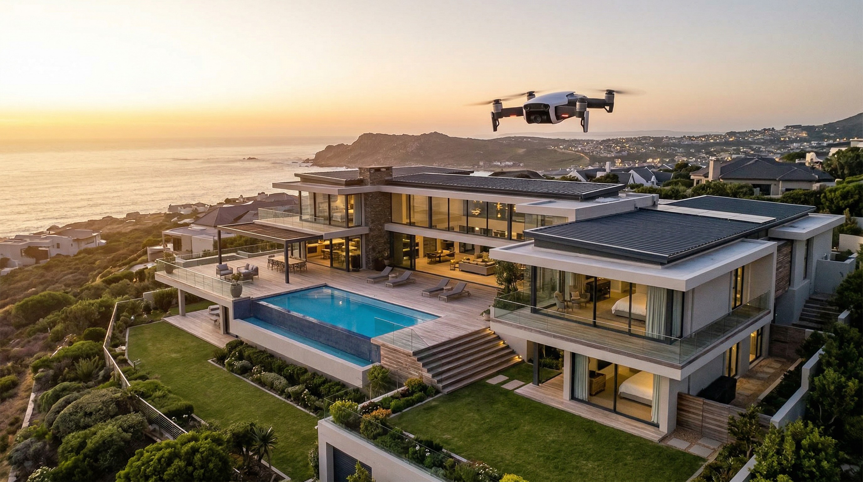
The Power of Aerial Perspectives in Real Estate
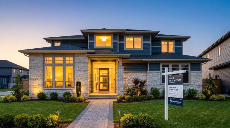
In today’s competitive market, a standard ground-level photo is rarely enough to capture a buyer’s imagination. Aerial photography has transformed from a luxury add-on to a standard expectation. Whether you’re showcasing an expansive rural estate or highlighting the proximity of a suburban home to local parks, drones provide a perspective that traditional photography simply cannot match.
However, taking to the skies isn’t as simple as buying a drone and hitting “take off.” For real estate agents, understanding the legal landscape is crucial to avoiding hefty fines and ensuring professional-grade results.
Understanding FAA Part 107
The Federal Aviation Administration (FAA) is the governing body for all drone activity in the United States. If you are using a drone to help sell a property, the FAA classifies this as commercial use. This means the pilot must hold a Remote Pilot Certificate under Part 107.
Many agents make the mistake of thinking a “recreational” flight covers a quick shot for a listing. It does not. Any flight intended to further a business—including real estate marketing—requires a licensed pilot. As an agent, you have two choices: get certified yourself or hire a professional media company. Failing to comply can result in significant penalties for both the pilot and the brokerage.
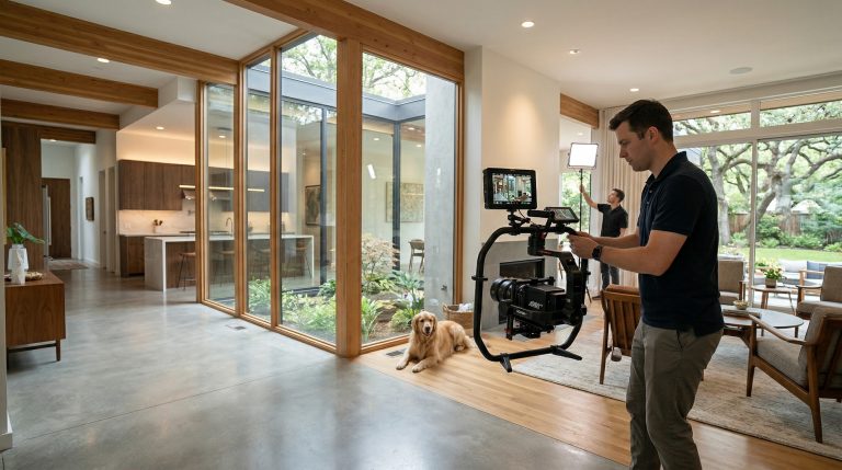
Hiring a Professional vs. DIY
While it may be tempting to fly your own drone, most top-performing agents partner with professional real estate media companies. Here is why it often makes more sense to outsource:
- Compliance and Liability: Professional pilots carry their own drone-specific liability insurance and understand complex airspace restrictions, such as proximity to airports or restricted government zones.
- Technical Precision: High-end drones used by professionals offer better wind stability, higher resolution sensors, and superior low-light performance for those perfect twilight shots.
- Post-Processing: Professional editors can color-grade aerial footage to ensure it matches your 3D tours and high-resolution interior photography seamlessly.
Privacy and Neighborhood Etiquette
Drones can be intrusive, and public perception of them is still evolving. To maintain your reputation and respect the community, always follow these best practices:
- Notify the Neighbors: If you’re shooting in a dense neighborhood, it’s a courtesy to let the immediate neighbors know when you’ll be flying.
- Respect Boundaries: Avoid hovering over neighboring backyards or windows. Keep the camera focus strictly on the subject property and common areas.
- Timing is Everything: Fly during optimal lighting (Golden Hour) and avoid early mornings or late evenings when neighbors are most likely to be seeking quiet enjoyment of their outdoor spaces.
Integrating Drone Footage with Your Media Suite
Aerial shots shouldn’t live in a vacuum. To create a truly immersive experience, drone footage should be integrated into a comprehensive media package. Combine sweeping aerial video with Matterport 3D virtual tours to give buyers a “macro-to-micro” view of the home.
Additionally, use “top-down” orthomosaic photos to create property line overlays. These are incredibly helpful for buyers trying to understand lot dimensions, easements, and the location of outdoor features like pools, sheds, or accessory dwelling units (ADUs).
Final Thoughts
Drone technology is one of the most effective tools in a real estate agent’s arsenal. By staying informed about FAA regulations and prioritizing professional quality, you can leverage aerial media to stand out in the MLS, attract more clicks, and ultimately close deals faster. Don’t just list a property—showcase its place in the world.